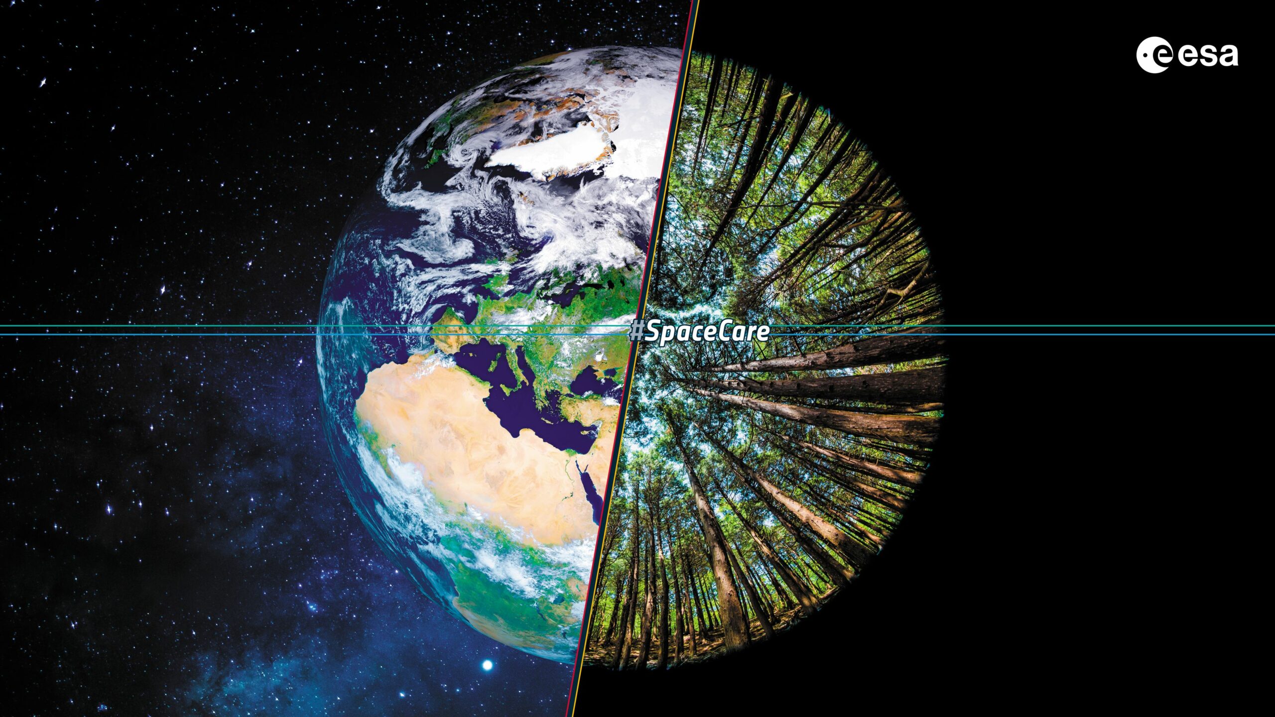
[Credit immagine: ESA]
(English below) Il progetto ITAREO (ITalo-ARgentine Earth Observation technologies for the mapping of indicators for the United Nations Sustainable Development Goals) nasce per verificare l’utilità delle immagini da satellite per ottenere informazioni geospaziali per il controllo degli obiettivi di sviluppo sostenibile delle Nazioni Unite (United Nations Sustainable Development Goals).
È un Progetto di Grande Rilevanza finanziato dal Ministero degli Affari Esteri e la Cooperazione Internazionale nell’ambito della collaborazione tra Italia e Argentina per il triennio 2021-2023. Il progetto, che era stato posticipato a causa della pandemia, è coordinato dal prof. Paolo Gamba del Dipartimento di Ingegneria Industriale e dell’Informazione dell’Università di Pavia, ed è partito finalmente pochi giorni fa.
Durante il primo anno, il team di progetto, cui appartengono, oltre che ricercatori dell’Università di Pavia, anche studiosi dell’Università di Roma “Sapienza” e dell’Università del Molise, analizzerà i dati satellitari della costellazione SIAGE (Sistema Italo-Argentino per la Gestione delle Emergenze) e del programma Copernicus dell’Agenzia Spaziale Europea, fornendo mappe di caratterizzazione delle aree urbane e delle colture agricole in aree selezionate dei due paesi interessati. Il progetto è infatti supportato sia dalla CONAE (Comision Nacional de Actividades Espaciales) che dall’ASI (Agenzia Spaziale Italiana).
***
The ITAREO (ITalo-ARgentine Earth Observation technologies for the mapping of indicators for the United Nations Sustainable Development Goals) project was created to verify the usefulness of satellite images to obtain geospatial information for the control of the United Nations’ sustainable development goals (United Nations Sustainable Development Goals).
It is a Project of Great Relevance funded by the Ministry of Foreign Affairs and International Cooperation as part of the collaboration between Italy and Argentina for the three-year period 2021-2023. The project, which had been postponed due to the pandemic, is coordinated by prof. Paolo Gamba from the Department of Industrial and Information Engineering of the University of Pavia and it finally started a few days ago.
During the first year, the project team, which includes not only researchers from the University of Pavia, but also scholars from the University of Rome ” Sapienza ” and the University of Molise, will analyze the satellite data of the SIAGE constellation (Sistema Italo-Argentino for Emergency Management) and the Copernicus program of the European Space Agency, providing characterization maps of urban areas and agricultural crops in selected areas of the two countries concerned. The project is in fact supported both by CONAE (Comision Nacional de Actividades Espaciales) and by ASI (Italian Space Agency).